
Cabo Pulmo Maps
(1) Cabo Pulmo Coral Reef Map
(2) Cabo Pulmo Marine Park Map
![]()
|
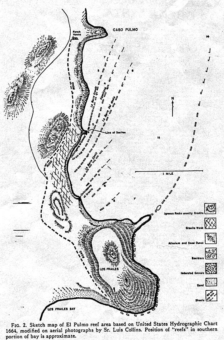
CORAL REEFS AT CABO PULMO: This rare hand-drawn map shows in detail the coral reel formations at Cabo Pulmo, about 20 miles south of Los Barriles, on the shore of the Sea of Cortez in what is popularly known as the East Cape area of the Mexican state of Baja California Sur. NOTICE: This is a protected area. Local authorities should be consulted before engaging in any activties at or near Cabo Pulmo. Click here to see a full-sized version of this map of the Cabo Pulmo coral reef. COURTESY OF RON MCPEAK. |
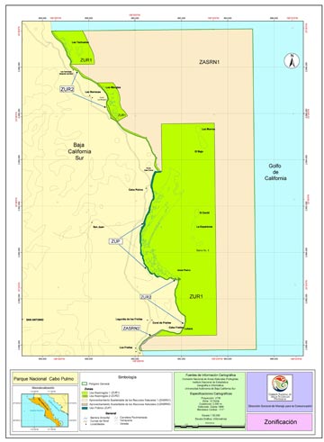
MEXICO'S CABO PULMO MARINE PARK: This large scale map of the Cabo Pulmo Marine Park, known officially as Parque Nacional Cabo Pulmo, shows the protected area of the Sea of Cortez and associated shoreline located on the southeast coast of Mexico's state of Baja California Sur. This detailed Cabo Pulmo Marine Park map was produced by the Comisión Nacional de Areas Naturales Protegidas, Instituto Nacional de Estadistica, Geografía e Informática, Universidad Autónoma de Baja California Sur. NOTICE: These are protected areas. Local authorities should be consulted before engaging in any activties at or near Cabo Pulmo. Click here to see a full-sized .pdf file of the Cabo Pulmo Marine Park. COURTESY OF MARK RAYOR AND SIMON CAZALY, VISTA SEA SPORT. |
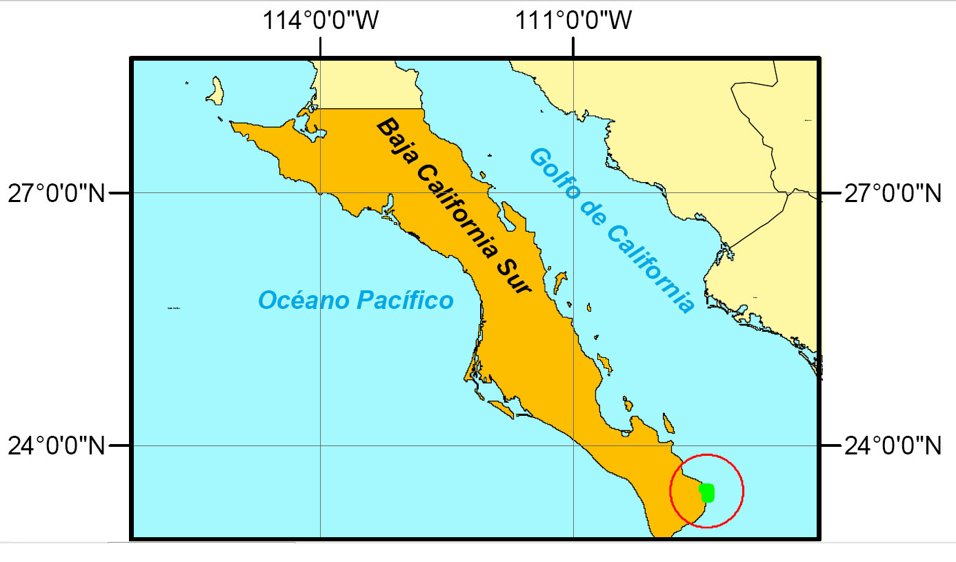
CABO PULMO LOCATOR MAP: Locator map for the above Cabo Pulmo Marine Park map. Click here to see in full size. |
MEXICO FISHING EAST CAPE FISHING FISH PHOTO GALLERY